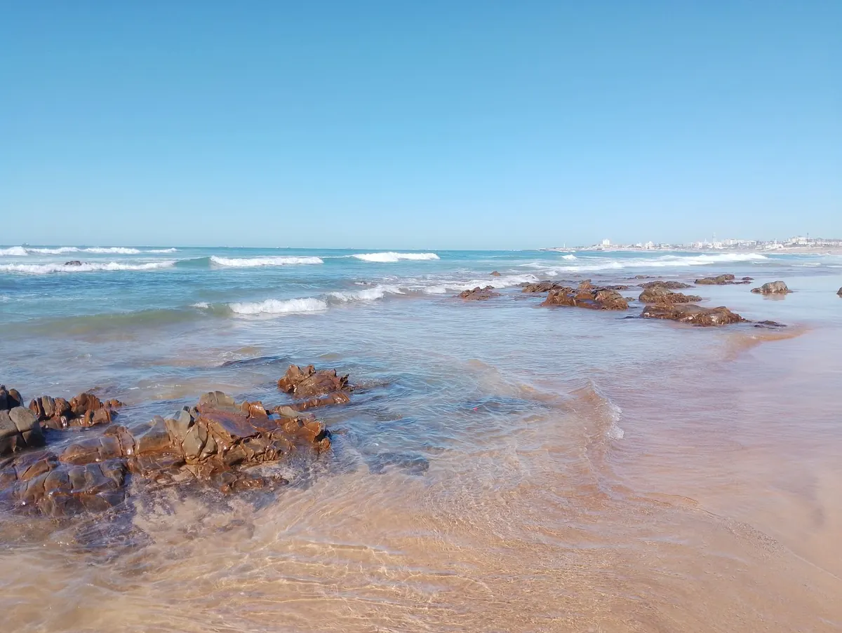
Coastal Erosion and Tides: How Beaches Change Through the Seasons
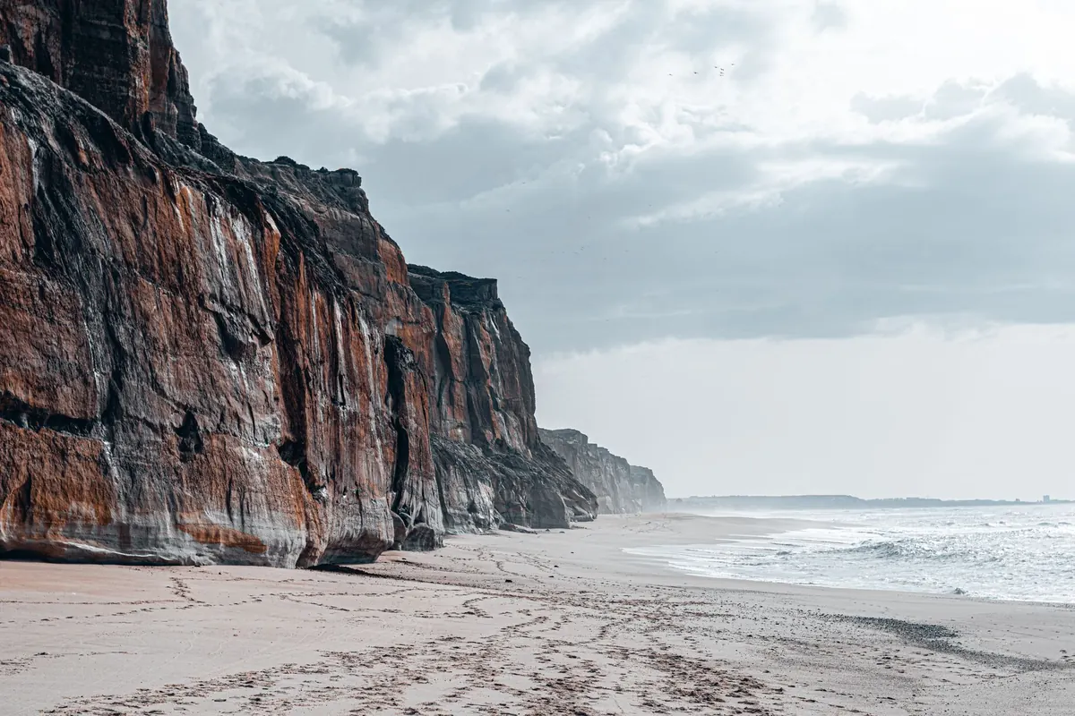
A beach is never finished. It is a working surface, rebuilt and dismantled by every tide, and the difference between a wide August strand and a stripped February one can be startling. Walk the same stretch of coast in midwinter and again in high summer and you may find several metres of sand have arrived or vanished — sometimes without a single dramatic storm to blame.
Understanding why that happens makes coastal walks far more interesting. It also explains why some places seem to shrug off rough weather while others lose ground year after year.
Most British beaches run on a seasonal rhythm. It is not a neat calendar switch, but the pattern is real enough that coastal engineers plan around it.
Through spring and summer, the dominant swell arriving from the Atlantic and North Sea is usually gentler and longer in wavelength. Waves break with less force, and the swash carries sand and shingle up the beach rather than dragging it away. The result is a higher, steeper beach with a pronounced ridge near the top — often called the berm. It is the dry, flat shelf where towels go down, and it sits above the reach of all but the highest tides.
Autumn and winter bring bigger, shorter, more energetic waves. Now the backwash wins. Sediment is pulled off the upper beach and dumped in offshore bars, sometimes tens or hundreds of metres out. The beach flattens and lowers, which sounds like bad news but is actually a defence: a flatter beach dissipates wave energy across a wider surf zone, and the offshore bars force waves to break earlier. Much of that sand comes back the following spring.
Tides set the stage. They decide how far up the beach the water reaches, and therefore which part of the sediment store is in play on any given day.
Spring tides, around the new and full moon, produce the highest and lowest water of the fortnight. Neaps, at the first and third quarter, produce the smallest range. Tidal range itself varies hugely around Britain: the Bristol Channel and parts of the Irish Sea see some of the largest ranges in the world, while stretches of the east coast and the sheltered south are comparatively modest.
That matters for erosion. A moderate storm arriving on a spring high tide does far more damage than the same storm at neaps, because the waves are working on the upper beach — the reserve of sand built up over summer. Add a low-pressure system pushing water levels higher still, and you get the combination that strips dunes, undermines promenades and shifts shingle banks.
Longshore drift is the other quiet force. Waves rarely arrive square to the shore, so sediment is moved along the coast in a zigzag: up the beach at an angle, back down more steeply. Over a year, this can move thousands of tonnes past a single point. Groynes and harbour walls interrupt the flow, which is why beaches grow on one side of a groyne and shrink on the other.
Think of any beach as a bank account. Sediment arrives from cliff erosion, rivers, and the slow onshore migration of material from the seabed. It leaves when storms carry it offshore, when it blows inland into dunes, or when it is trapped behind structures or removed by dredging.
A healthy beach runs roughly in balance. A beach in deficit loses ground with every big storm because there is not enough material waiting to replace what gets taken. This is why two similar-looking bays can behave completely differently after the same weather. The Yorkshire Holderness coast, parts of Norfolk and several Welsh and Cornish bays have long histories of retreat for exactly this reason.
Recovery depends on space and supply. A wide, sandy bay backed by dunes has somewhere to store sediment and a reservoir offshore to draw on, so it often rebuilds within a season or two. A narrow beach pinned between a sea wall and deep water has neither. As sea levels rise, that squeeze — sometimes called coastal squeeze — means the upper beach and its hinterland cannot migrate inland, so the beach simply gets narrower.
Hard defences protect what is behind them, but they also cut off the natural supply of sediment from cliffs and fix the shoreline in place. Offshore breakwaters and beach nourishment can help, but they need maintaining. There is no set-and-forget solution on a coast that is always in motion.
The best way to learn how tides shape your own stretch of coast is simply to look often. Pick a fixed viewpoint — a slipway, a groyne, a particular bench on the promenade — and photograph the same view once a month through the year. Note the date, the state of the tide and the weather. Within twelve months you will have a clear picture of your beach's seasonal breathing, and you will spot erosion as it starts rather than months later.
Check tide tables before walking below cliffs or dunes, and keep well clear of the base of any cliff you can see fresh mud or rock fall beneath. Erosion is often episodic, and a beach that looks safe at low water can change quickly with the next spring tide. If a section of coast near you is retreating and you own or manage property there, it is worth taking advice from a coastal engineer or your local council's coastal team early — options narrow as the shoreline approaches.
Beaches are not static backdrops. They are processes, and the tides are running them all year round. Once you start watching, you will never quite see a beach the same way again.
Photo: Vadym Alyekseyenko / Pexels